Past Missions

  • Envisat

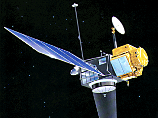
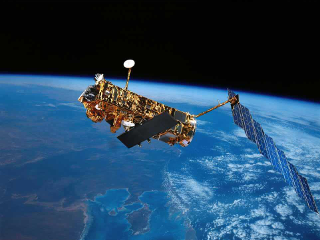
    Envisat
    EnvisatCopyright: ESA

    The ESA’s Environmental Satellite (EnviSat) is the largest civilian Earth Observation satellite ever built. The mission objectives covered a wide range of disciplines, for both meteorological and climatological studies: EnviSat gathered information on regional and global scale phenomena, strongly contributing to a better understanding of oceans, atmosphere, vegetation, Earth crust, hydrology, and ice processes. EnviSat was launched in March 2002, with a near-circular sun-synchronous orbit of altitude 800 km and a spatial coverage of ±81.45° (inclination 98.55°). The orbit had an exact repeat cycle of 35 days and the same ground track as ERS-2 (within ±1 km) . On May 2012, EnviSat mission was officially declared terminated.
  • ERS-1

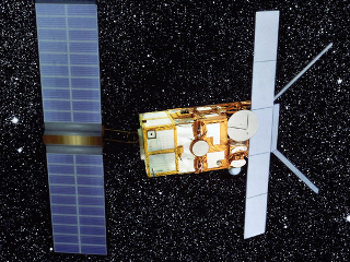
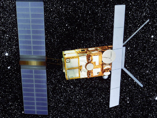
    ERS-1
    ERS-1Copyright: ESA

    The first European Remote-Sensing Satellite (ERS-1) was launched in July 1991 and it was the most advanced European satellite for the Earth observation. In particular, this ESA mission provided information of ocean and atmosphere in the microwave spectrum. However, several applications were found also for ice and land. ERS-1 is characterized by a Sun-synchronous near-circular polar orbit, with 98.52° inclination and altitude of 782 -785 km. During the first phases of the mission, ERS-1 had a high-frequency repeat cycle of 3 days, which changed to a 35-day repeating orbit during the mapping phase. ERS-1 mission ended in March 2000; however, since 1995 ERS-2 replaced the satellite on its same nominal track.

  • ERS-2

    ERS-2
    ERS-2Copyright: ESA

    ERS-2 is the successor of ESA’s ERS-1 and it mainly features the same characteristics as its predecessor. Like ERS-1, ERS-2 had a Sun-synchrono us polar orbit a repeat cycle of 35 days during the mapping phase. ERS-2 mission ended in September 2011.

  • Geos-3

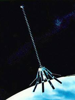
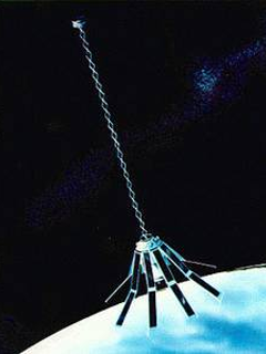
    Geos-3
    Geos-3Copyright: NASA

    Geodynamics and Experimental Ocean Satellite (GEOS) is the third of the NASA’s geodetic mission program GEOM. It was launched in April 1975 and continued gathering data for more than 3 years, until July 1979. The satellite was designed to detect gravitational anomalies as well as ocean’s mesoscale circulation. Its orbit was non-Sun-synchronous, with an inclination of 115°.

  • Geosat

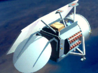
    Geosat
    GeosatCopyright: NASA

    The GEOdetic SATellite was developed by the U.S. Navy with the purpose of monitoring the sea surface for applications in geodesy and oceanography. In order to fulfill both the objectives, the mission was divided into two phases. During the first phase, also called Geodetic Mission (GM), GEOSAT operated with a Sun-synchronous, polar orbit configuration, an inclination of 108°, and a repeating period of 3 days. With these characteristics, the satellite provided a dense map of the geoid from March 1985 to September 1986. During the second phase, also called Exact Repeat Mission (ERM), the satellite flew on a near-polar circular orbit, with the same inclination as for GM. The exact repeating cycle of 17.05 days allowed observations of ocean features. The mission ended in January 1990. GEOSAT has a successor for ERM continuation: GEOSAT Follow-On (GFO).

  • Geosat Follow-On

    Geosat Follow-On
    Geosat Follow-OnCopyright: NASA

    After the success of GEOSAT’s Exact Repeat Mission (ERM), in February 1998 the U.S. Navy launched the mini-satellite GEOSAT Follow-On (GFO). The mission had the same mission objectives as GEOSAT’s ERM, as well as its orbit configuration and ground track (for further details please refer to GEOSAT page).

  • HY-2A

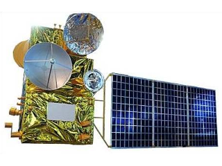
    HY-2A
    HY-2ACopyright: CAST

    HaiYang-2A (HY-2A) is the second of a series of Earth observation satellites designed at the China National Space Administration (CNSA). The mission objective of HY-2A is to monitor the marine physical characteristics, such as Sea Surface Temperature, wind field and sea level. HY-2A was launched in August 2011 and it is still operational. The orbit has a near sun-synchronous orbit with 99.3° inclination and a repeat cycle of 14 and 168 days.

  • IceSAT

    IceSAT
    IceSATCopyright: NASA

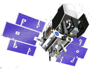
    The NASA’s Ice, Clouds, and Land Elevation Satellite (ICESat) was launched in January 2003 with the main objectives of monitoring changes in cryosphere, vegetation, and atmosphere. ICESat is characterized by a laser altimeter, which guarantees a higher resolution on the Earth’s surface with respect to a conventional altimeter. Moreover, the laser’s green and infrared lights allow cloud and aerosol observations. ICESat operated in a near-polar LEO orbit, with latitude coverage of ±86°. During the first 120 days, ICESat flew with a repeat cycle of 8 days, which allowed validation operations and measurements on specific locations. Afterwards, the repeat cycle became of 91 days for mapping operations. The mission ended in February 2010, with a final de-orbit completed by August of the same year.

  • Jason-1

    Jason-1
    Jason-1Copyright: NASA

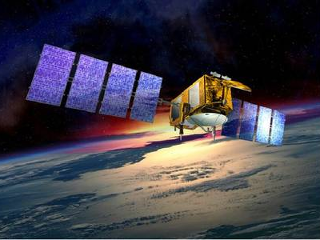
    Jason-1 is a project realized from the collaboration between NASA and CNES, and it is considered the successor of TOPEX/Poseidon. Launched in December 2001, Jason-1 flew on a non-Sun-synchronous, circular orbit, at altitude 1336 km and inclination 66.038°. During this first phase of the mission, its ground-track was the same as TOPEX, with a repeat cycle of 9.9156 days. In May 2012 Jason-1 moved into a geodetic orbit until the end of the mission in June 2013.

  • Jason-2

    Jason-2
    Jason-2Copyright: NASA

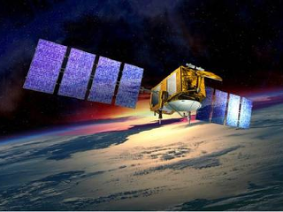
    Jason-2 is the follow-on of NASA/CNES’s Jason-1, and it is known also with the acronym OSTM, namely Ocean Surface Topography Mission. It was launched in June 2008 and it has the same orbit characteristics as its predecessor. From October 2016 Jason-2 is in an interleaved orbit, while the newer mission, namely Jason-3, continues operating on the former ground-track.

  • Seasat

    Seasat
    SeasatCopyright: NASA/JPL

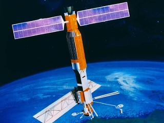
    SeaSat was one of the first missions designed for oceanographic purposes. This NASA’s satellite was launched in June 1978 and observed the Earth for 105 days. The mission had a non-sun-synchronous, near-circular, polar orbit configuration, with an inclination of 108° and a repeat cycle of 17 days, with 3-day sub-cycles.

  • Topex/Poseidon

    Topex/Poseidon
    Topex/PoseidonCopyright: NASA/JPL

    TOPEX/Poseidon (T/P) mission was launched on the 10th of August 1992 and was the result of a NASA-CNES collaboration. The mission objectives were focused on the improvements in sea surface topography description, and the enhancement of climate forecasting performances. T/P has operated for over 13 years (until January 2006), delivering data with an accuracy of 4.2 cm. The satellite flew on a near-circular, non- Sun-Syncronous orbit with altitude of 1336 km, coverage of +- 66°, and a repeating period of 9.9156 days. In September 2002 T/Ps orbit was shifted midway between the previous tracks. This operation allowed a cross-calibration with NASAs Jason-1 satellite, which replaced T/P in on its same former orbit.

Find more topics on the central web site of the Technical University of Munich: www.tum.de