Products
The Open Altimeter Database (OpenADB) provides the following products based on satellite altimetry to the community.
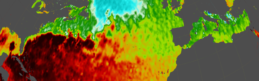
Sea Surface Heights (SSH) are provided along-track for all available satellite altimeter missions. All measurements are already corrected by the most actual geophysical corrections (e.g. tides and atmospheric delays). Moreover, as the data of all missions have been carefully harmonized and cross-calibrated in advance (following the approach of Bosch et al., 2014), it should be possible to merge and combine SSH of any mission in order to improve the spatial and temporal resolution. [More ...]
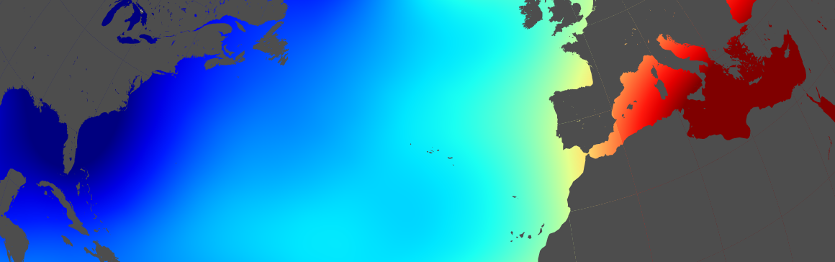
Sea Level Anomalies (SLA) are provided along-track for all available satellite altimeter missions. They describe the difference between the actual sea surface height (SSH) and a mean sea surface height (MSSH). All measurements are already corrected by the most actual geophysical corrections (e.g. tides and atmospheric delays). Moreover, as the data of all missions have been carefully harmonized and cross-calibrated in advance (following the approach of Bosch et al., 2014), it should be possible to merge and combine SLA of any mission in order to improve the spatial and temporal resolution. [More ...]
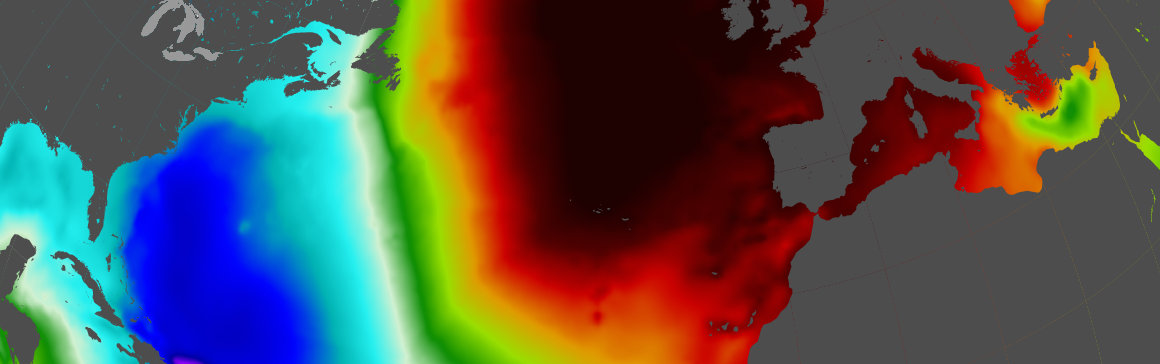
Instantaneous Dynamic Ocean Topography (iDOT)
The instantaneous Dynamic Ocean Topography (iDOT) are derived as deviation between the actual sea surface heights SSH and the geoid heights N along individual profiles observed by nearly all satellite altimeter missions operating since end of 1992 following the "profile approach", developed by Bosch et al., 2014. [More ...]
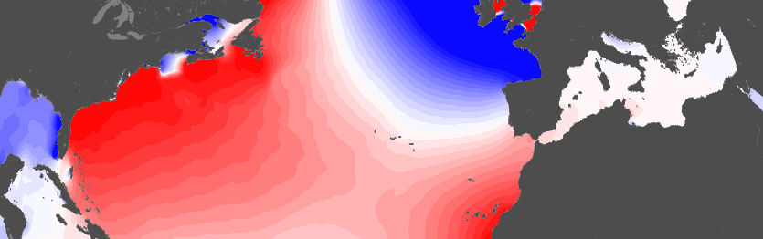
Empirical Ocean Tide Model (EOT)
DGFI-TUM's empirical ocean tide models are global solutions providing amplitudes and phases of the most dominant ocean tide constituents based on an empirical analysis of multi-mission satellite altimetry data. The models were obtained by means of residual harmonic analysis of multi-mission altimeter data with respect to FES2004 (Lyard et al, 2006). The most recent model is EOT11a. [More ...]
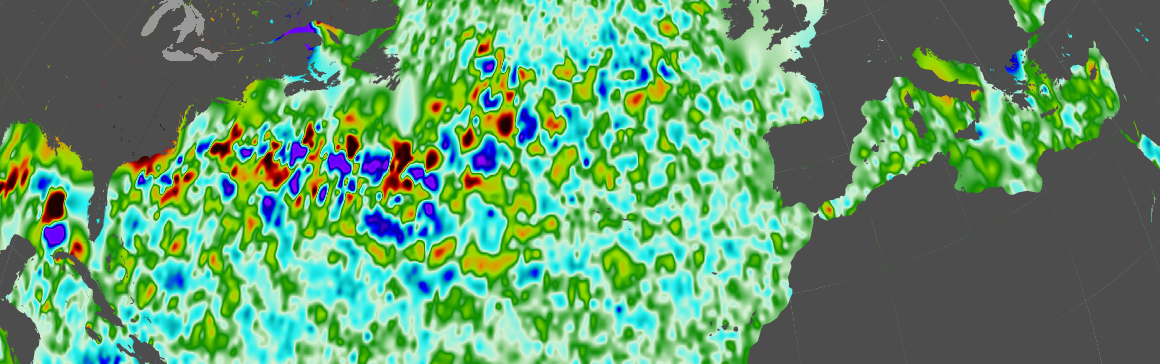
Vertical Total Electron Content (VTEC)
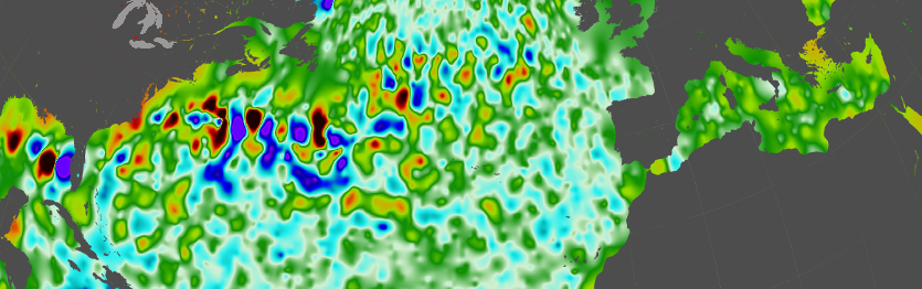
Vertical Total Electron Content (VTEC) is provided along-track for all satellite altimeter missions with dual-frequency altimeters.They are derived from the difference of the measurements of the two frequencies and converted from metric ionospheric corrections to electrons per square-meter directly beneath the satellite (given in TECU). In order to reduce measurement noise, a 20 sec median filter is applied for smoothing the data along the profiles. [More ...]
Adaptive Leading Edge Subwaveform (ALES) Retracker
The Adaptive Leading Edge Subwaveform (ALES) Retracker is a fitting algorithm used to improve the sea level estimations from satellite altimetry. While the biggest improvement involves the coastal ocean, the sea level data are reliable in the open ocean as well and improve the current standards in terms of noise content. [More ...]